Weather across America

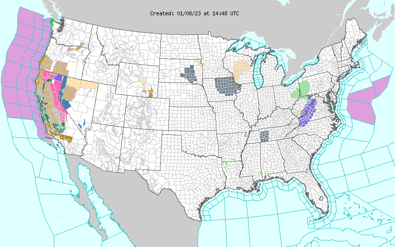
(NATIONAL) Two major episodes of heavy rain and mountain snow expected to impact northern and central California, scattered showers and thunderstorms moving across the Deep South, and light rain and a wintry mix expected to track through the Midwest and Mid-Atlantic.
The West Coast remains under the target of a relentless parade of cyclones that form and intensify over the Pacific Ocean while moving directly toward the North American continent. Two major episodes of heavy rain and mountain snow are expected to impact northern and central California during the next couple of days. The first episode is currently associated with the energetic and moisture-laden fronts that are swinging rapidly toward the West Coast ahead of a large cyclone. Heavy rain and mountain snow have already overspread much of northern California while expanding further south into central California.
Meanwhile, heavy snow has reached the interior mountains including the Sierra Nevada. A lull in this latest episode of heavy precipitation is expected by Sunday night as the storm system is forecast to weaken quickly over land. However, a more potent surge of moisture associated with the next system in line is forecast to once again impact northern California by Monday morning, shifting further south into central California by Monday night before starting to taper off early on Tuesday.
Heavy new snow along the Sierra Nevada could exceed 5 feet with this onslaught of moisture. With terrain already saturated from previous rainfall, additional bursts of heavy rain will lead to a heightened threat of flash flooding and rapid rise of river levels. The longevity and intensity of rain, combined with the cumulative effect of successive heavy rain events dating back to the end of December, will lead to widespread and potentially significant flood impacts. In addition, strong and gusty winds are expected to accompany the passages of the energetic fronts, which could result in downed trees and scattered power outages. Residents and visitors are advised to check their local forecast, never drive across flooded roadways (Turn Around Don't Drown!), and have both an emergency kit and evacuation plan in place.
For the central and eastern U.S., a relatively weak low pressure system is forecast to track eastward across the mid-Mississippi and Tennessee Valleys today before reaching the East Coast Sunday night. Showers and thunderstorms moving across the Deep South ahead of the trailing cold front Sunday morning are expected to head further northeast for the rest of today with diminishing intensities.
On the northern side of this system, a light wintry mix and cold rain moving across the Midwest should reach the northern Mid-Atlantic/central Appalachians Sunday night into Monday morning which could cause locally slick roads. The light precipitation will then exit the East Coast later on Monday as a low pressure system intensifies and moves out into the Atlantic. Meanwhile, tranquil weather is expected for the rest of the mainland U.S. with temperatures generally milder than average.
Comments
This story has no comments yet