Weather across America

(NATIONAL) A cool and crisp autumn air-mass to remain entrenched over the eastern U.S and much of the South, scattered showers in parts of the Northeast, Great Lakes, and Central Appalachians, and warm and dry across much of the western U.S. but rainy conditions over the Pacific Northwest.
A powerful storm system in the northwest Atlantic and a dome of high pressure over the Nation's Heartland are responsible for an expansive field of northerly winds funneling an autumn-like air-mass as far south as the Gulf Coast.
Monday morning lows will dip as low as the freezing mark in parts of the central Plains, prompting Frost Advisories and Freeze Warnings to be issued from the TX/OK Panhandles to southern Nebraska. Farther east, lows will be more commonly in the 40s both Monday and Tuesday morning. Daytime highs will average 5-15 degrees below normal from the Gulf Coast to the Northeast with some portions of the TN Valley and southern Appalachians as cool as 20-25 degrees below normal.
The aforementioned northerly flow over the Great Lakes will spawn hit-or-miss showers for portions of the Ohio Valley, eastern Great Lakes, Appalachians, and Northeast on Monday with more isolated shower activity on Tuesday. While the East plunges into a more autumn-like temperature regime, an amplifying ridge over the West is set to foster more summer-like temperatures for the first half of the work-week. Daytime highs on Monday are forecast to jump as high as 15-20 degrees above normal in parts of the Desert Southwest and both the Northern Rockies and High Plains.
As the upper ridge moves east into the Plains on Tuesday, so will the abnormally warm temperatures with highs in the 70s from the Dakotas to 80s in the southern and central High Plains. The dome of upper level ridging will also play a big role in maintaining a dry first half to the upcoming from the Southwest to the Heartland. The only exception is the Pacific Northwest, where a potent northeast Pacific storm system delivers periods of rain and gusty winds to the region on Monday.
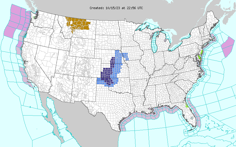
Showers will make their way as far inland as the northern Rockies late Monday and into Tuesday. The good news is that this round of rainfall will be beneficial for drought-stricken portions of the Pacific Northwest and Northern Rockies.
Comments
This story has no comments yet